
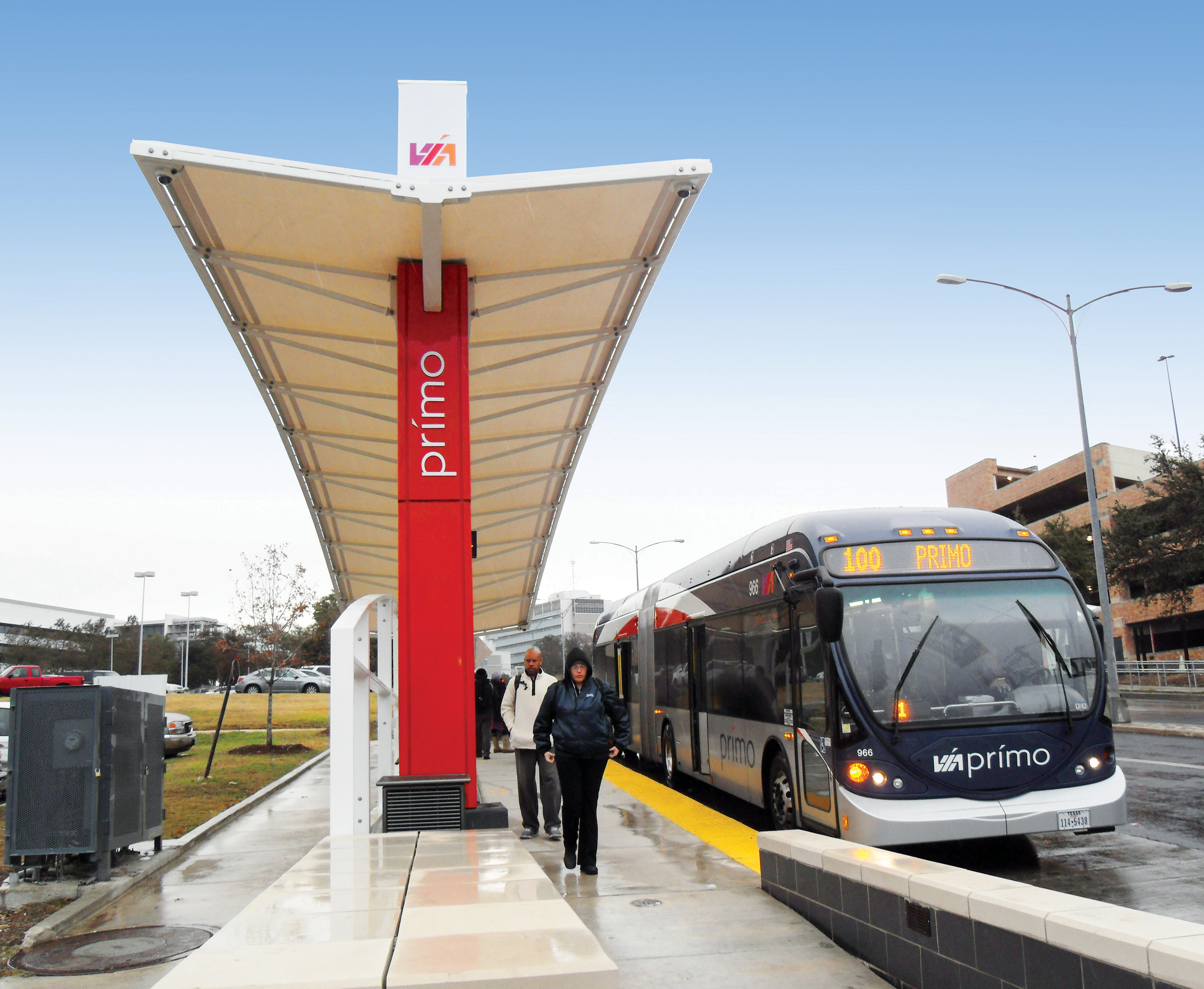
VICKREY was contracted to perform surveying services for the VIA Metropolitan Transit’s initial BRT concept and more recent Primo fixed-guideway project in the San Antonio area. The firm was responsible for performing the primary and secondary project control, establishing flight panel points for use in an aerial topographic survey, project scheduling and coordination for aerial topography, design-level topographic surveying at driveways and at intersections to ensure that design grade harmonized with existing grade, utility surveying all visible and subsurface utilities, coordination with TxDOT for traffic control and lane closures, weekly progress reports, and project management. In addition to topographic and utility surveying, VICKREY was also responsible for performing the necessary property research at the Bexar County Appraisal District and County Clerk’s Office to develop an apparent right-of-way map along Fredericksburg Road and Medical Drive. The apparent right-of-way required our team to recover property monumentation along both sides of the right-of-way and perform a regression analysis on monumentation in order to develop a best-fit alignment for the right-of-way. The team was also responsible for performing boundary resolutions for 16 properties and prepared temporary construction easements and boundary surveys with metes and bounds descriptions for real estate acquisition at 16 in-line station locations. The project earned the highest recommendations from the client and also earned the 2013 ACEC Gold Award for Surveying and Mapping.
Services provided:
- primary and secondary project control
- established flight panel points for use in aerial topographic survey
- project scheduling and coordination for aerial topography
- design-level topographic surveying
- utility surveying all visible and subsurface utilities
- coordination with TxDOT for traffic control and lane closures
- weekly progress reports and project management
- property research to develop an apparent right-of-way (ROW) map
- boundary resolutions for 16 properties
- preparation of temporary construction easements and boundary surveys with metes and bounds descriptions for real estate acquisition at 16 in-line station locations