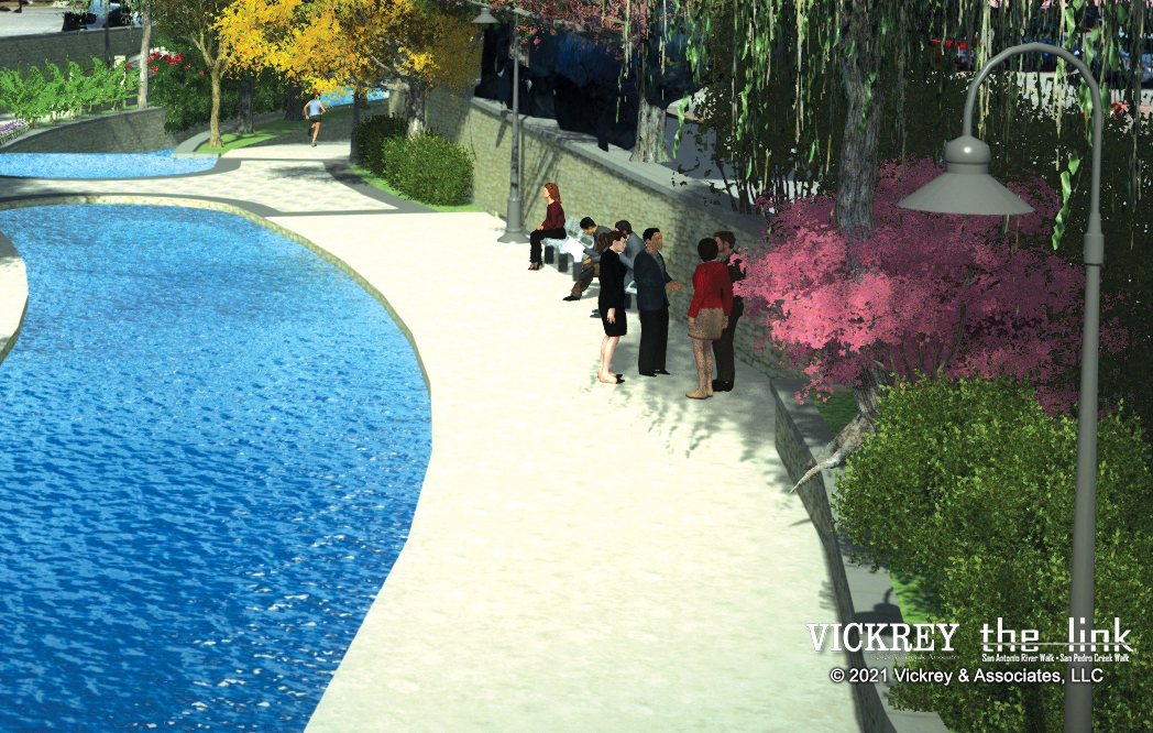
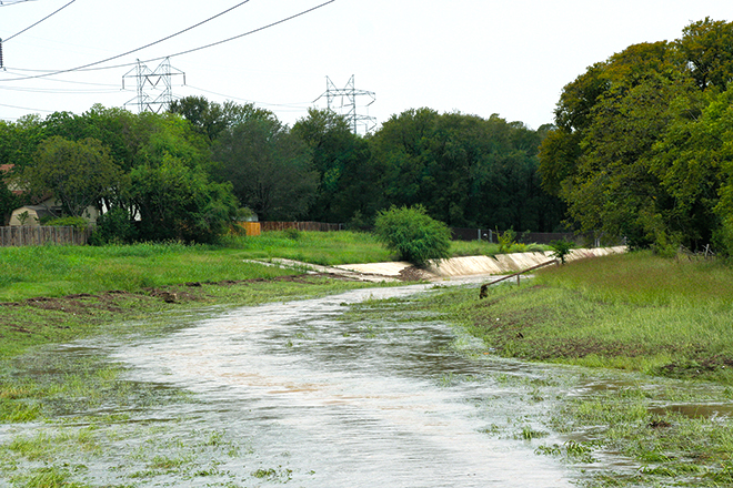
VICKREY completed a feasibility study, Preliminary Engineering Report, and full Channel reconstruction documents, designed a 1.2-mile City linear greenways trail, and performed complex hydrologic and hydraulic analysis. This project reduces the floodplain limits by 73 acres along approx. 18,000 lf of Huebner Creek for the ultimate 1% chance storm. The channel improvements consisted of approximately 18,000 linear feet of Huebner Creek from just North of Bandera Road south to Loop 410. V&A calibrated and revised the effective FEMA DFIRM HEC GEO-RAS and HEC-GEO-HMS models to develop a unique channel design incorporating natural riparian areas and channel features into the analysis resulting in lower calculated water surface elevations and increased the channel conveyance capacity. The project included channel bank stabilization measures as well as channel excavation (dredging) to increase flow capacity in Huebner Creek. Preservation of over 80% of the existing natural riparian channel areas and approximately 1,000,000 square feet of tree canopy was designed into this flood control project creating a unique natural channel design as well as utilizing aquatic depressions and riffles to create riparian environments. The project also incorporated a preliminary environmental assessment, geotechnical investigation, plugging of existing Edwards Aquifer Authority wells, analysis of land acquisition, and a complex potential pier Scour Analysis.